Introduction
GPS tracking devices utilize satellite signals to deliver precise location data, playing a critical role in various applications.
Personal Safety: Ensures the safety of individuals such as children and the elderly by tracking their whereabouts.
Vehicle Monitoring: Helps in managing and securing vehicles, useful for both individual car owners and fleet managers.
Asset Management: Keeps track of valuable assets, aiding in logistics and preventing loss or theft.

How GPS Tracking Works
Satellite Connection:
GPS tracking devices communicate with a network of satellites orbiting the Earth. These satellites constantly transmit signals containing their location and the current time.
Data Transmission:
Device Receives Signals: The GPS device receives signals from multiple satellites. By calculating the time it took for each signal to arrive, the device determines its precise location through a process called trilateration.
Data Relay: Once the device calculates its location, it transmits this data to the user via cellular networks, Wi-Fi, or other communication methods, depending on the device’s capabilities.
User Access:
The location data is then accessible to the user through a mobile app or web platform, allowing for real-time tracking and historical route information. This system ensures that users can monitor the location of the GPS-tracked asset efficiently and accurately.
Typical Accuracy and Range
Standard Accuracy
Accuracy within Three Meters
GPS trackers typically provide location information that is accurate to within three meters. This high level of precision is achieved by calculating signals from multiple satellites. However, the accuracy can vary between 2 to 10 meters due to several factors:
Factors Affecting Accuracy:
However, the accuracy can be influenced by various factors, including:
Obstructions: Tall buildings, tunnels, bridges, and dense forests can obstruct the signal between the GPS device and the satellites, leading to reduced accuracy.
Weather Conditions: Severe weather can also impact the signal strength and quality.
Device Quality: The quality of the GPS device and its components can affect the precision of the tracking.
GPS signal accuracy can be significantly impacted by obstructions such as tall buildings, tunnels, bridges, and dense forests. These elements interfere with the direct line of sight between the GPS device and satellites, causing delays or disruptions in signal transmission.
Interference Explanation
Tall Buildings: Urban areas with skyscrapers can create “urban canyons,” reflecting and scattering GPS signals, leading to multi-path errors.
Tunnels and Bridges: These structures can block GPS signals entirely, causing temporary loss of tracking.
Dense Forests: Thick foliage can absorb or scatter GPS signals, reducing signal strength and accuracy.
Environmental Factors Affecting Range
Urban vs. Rural Settings
In urban settings, GPS performance can be hindered by numerous buildings and other structures that obstruct signals. These “urban canyons” cause signal reflections and interruptions, reducing accuracy and reliability. Conversely, in rural areas, with fewer obstructions and open skies, GPS devices generally achieve better signal strength and accuracy.
Weather Conditions
Severe weather, such as heavy rain, snow, or dense cloud cover, can impact GPS signal strength. These conditions may cause signal scattering and attenuation, leading to reduced accuracy and range.
Enhancing GPS Tracker Range
Device Placement
Vehicles: Place GPS trackers on the dashboard or near windows to ensure a clear view of the sky, minimizing signal blockage by the vehicle’s structure.
Assets: For optimal performance, attach trackers in an unobstructed, elevated position on assets, avoiding dense metal or other signal-absorbing materials.
Personal Use
Child Safety: Monitor children’s location to ensure their safety using devices like the Qbit Mini GPS Tracker.
Elderly Care: Track elderly relatives for their well-being.
Pet Tracking: Locate pets that may wander off.
Fleet Management
Route Optimization: Plan efficient routes and reduce fuel consumption with trackers like the VL802 4G GPS Tracker.
Vehicle Location Monitoring: Real-time tracking to ensure route adherence.
Asset Tracking
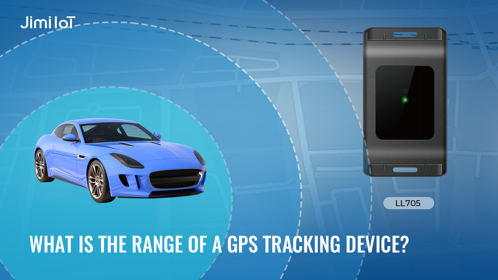
Large Distance Monitoring: Track valuable assets over large distances with devices like the LL705 4G Wireless Asset Tracker.
Security: Prevent theft by monitoring unauthorized movements.
WHY JIMIIOT
JimiIoT is a global leader in innovative IoT solutions. We provide cutting-edge hardware and software tailored to enhance efficiency and connectivity. Our range of products includes advanced GPS tracking devices, asset management solutions, smart vehicle dashcams, and telematics platforms. With a focus on technological excellence and customer satisfaction, we empower businesses to optimize operations and gain valuable insights from data-driven analytics. Trust JimiIoT to drive positive change and unlock growth opportunities in the digital age.
If you would like more details, please visit Facebook, LinkedIn, INS, and Twitter pages to learn more.