Since the earliest compass to today’s satellite positioning, humans have invented various instruments and equipment for conquering nature. Positioning technology has been rapidly improving in technical means, positioning accuracy, and usability with the advancement of society and science and technology, and it has gradually penetrated every aspect of social life, becoming a valuable and indispensable application that people use every day – such as personnel search, location finding, traffic management, navigation of vehicles, and route planning. Despite the fact that GPS positioning, LBS positioning, and other positioning technologies are always available, most people have little knowledge of them. This article will provide a deeper understanding of the tracker, as it is the tool that achieves technology.

1.GPS Positioning
There are three parts to the GPS global positioning system: a space component, a ground control component, and a user equipment component. GPS uses four satellites with known positions to determine the location of the receiver. Using the on-board clock, satellite ephemeris can be used to locate the satellites based on their position. It is possible to calculate the distance between the user and the satellite by multiplying the satellite signal propagation time by the speed of light (the real distance between a user and a satellite is not the true distance due to interference by the ionosphere in the atmosphere).
2.Beidou Satellite Positioning(BDS)
By using geosynchronous satellites for positioning, navigation, and timing, Beidou satellite positioning allows global users to provide high-precision positioning, navigation, and timing services in all weather conditions. In addition to providing navigation information to the user and competent authorities, it can quickly determine the geographic location of the target or user. As one of four core suppliers of global satellite navigation systems, BeiDou has been called “BeiDou Satellite Navigation System” since the second generation. The United Nations Committee on Satellite Navigation has recognized it as one of four generations. IoT and consumer electronics have widely used 28nm process RF baseband integrated SoC chips, China’s satellite navigation industry output value has exceeded RMB 300 billion in 2018.

3.Base station positioning
Base station positioning is also called mobile location service (LBS – Location Based Service). A value-added service that provides corresponding services to users. When the base station is positioned, the signal is easily interfered, so the inaccuracy of its positioning is inherently determined, and the accuracy is about 150 meters. But its positioning speed is super fast. Once there is a signal, it can be positioned. At present, the main purpose is to quickly and generally understand your location without GPS and without wifi.

4.WiFi positioning
Since WiFi is already popular, there is no need to lay special equipment for positioning. Users who have turned on Wi-Fi and mobile cellular networks while using smartphones may become data sources. The technology has the advantages of easy expansion, automatic data update and low cost, so it was the first to achieve scale. WiFi positioning can achieve complex and accurate positioning, but it does not achieve precise positioning, as its accuracy can only reach 2 meters. Therefore, it is suitable for positioning and navigation of people or vehicles, and can be used in various occasions requiring positioning and navigation, such as medical institutions, theme parks, factories and shopping malls.
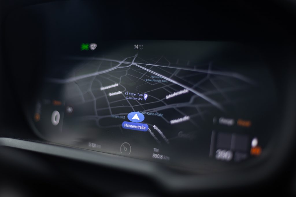
Through the above introduction we can see that different positioning technologies have their own advantages and disadvantages, but Jimi takes the best of them and integrates various positioning technologies for use in product development. Multiple positioning supports GPS and BeiDou satellite positioning, LBS base station positioning, with GNSS second fix, not only can pick a variety of satellites, but also pick good satellites to use, making positioning faster and more accurate. With the help of satellite positioning technology and wireless network, the collected location, mileage and alarm messages and other related information are transmitted to the cloud server and analyzed and calculated, and the visualized data are fed back to the wind control platform as well as APP, thus realizing various functions such as positioning, abnormal alarm, etc. It is convenient for the wind control managers to monitor and analyze and predict risks in advance, thus improving the wind control capability and providing convenient and accurate services to users.
Jimi loT aims to provide customers with innovative, mutually beneficial, safe and efficient international intelligent hardware and IoT solutions. At present, our products have been sold to more than 130 countries, with an annual shipment of 6 million units. The volume reaches 10 million units, and we have set up service centers and marketing centers in many countries to provide customized services for the local market and build an international marketing and service network covering the world. JimiloT shoulders the mission of “making connections easier”, and is constantly striving to realize the vision of becoming a continuous leader in IoT enterprises.
Join our Facebook, LinkedIn, INS, and Twitter pages to learn more.